Snow Load by State: Ground Snow Load Ranges by Region
Typical ground snow load ranges for every US region, from near-zero Gulf Coast to 150+ psf in mountain case-study zones. Find your state's range.
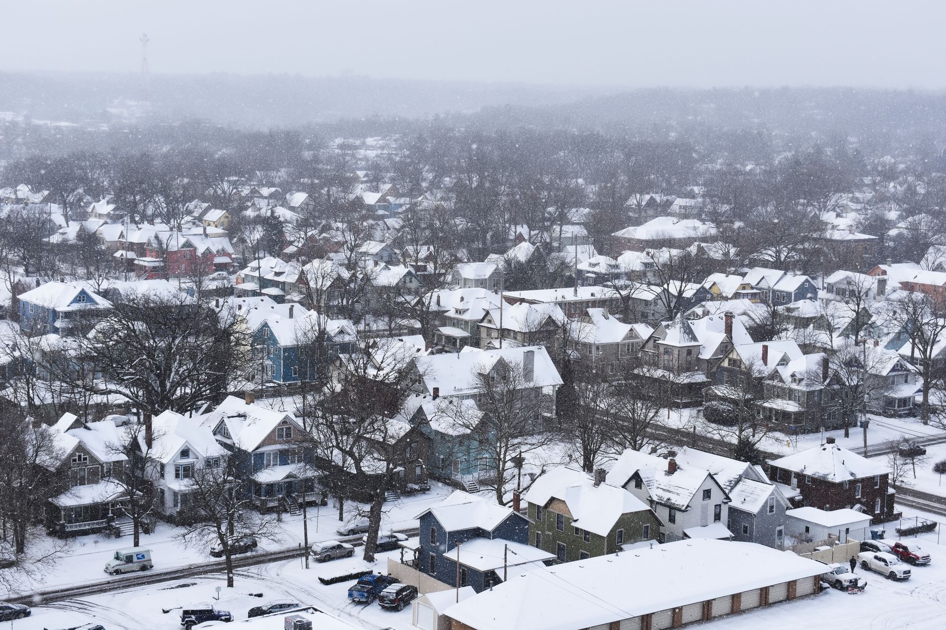
- ›Ground snow load clusters by region: near zero on the Gulf Coast, moderate across the mid-Atlantic and lower Midwest, high in the upper Midwest and New England, and elevation-driven in the mountain West.
- ›States like Colorado, Utah, Wyoming, Montana, Idaho, California, Washington, Oregon, and Alaska are ASCE 7 case study states, where elevation, not the state itself, sets the value.
- ›A statewide average is a planning number only; the value that governs your permit comes from the ASCE 7 Hazard Tool or your local building department.
- ›Roughly a third of US states carry at least part of their territory in case study status, almost always tied to mountain or high-plateau terrain.
Snow load is not a national number; it is a local one that happens to cluster by region. Knowing the typical range for your part of the country is useful for early planning, budgeting, and sanity-checking a quote, even though the value that actually governs your permit comes from your exact site. This guide breaks ground snow load down by region, flags the states where elevation drives the number, and points you to the exact lookup tools for your address.
Northeast
New England and the mid-Atlantic coast carry some of the highest ground snow loads in the country outside the mountain West. Coastal Connecticut and Rhode Island run a moderate 25 to 40 psf, but move inland and north and the numbers climb fast: interior Massachusetts and much of Vermont sit in the 45 to 90 psf range, and northern Maine and New Hampshire's White Mountains regularly exceed 60 psf, with true case study elevations well above 100. New York is a genuine two-tier state: New York City and Long Island are moderate at 25 to 40 psf, while the Tug Hill Plateau, Adirondacks, and Catskills, some of the snowiest terrain east of the Rockies, push well past 70 psf. Start with our New York and Vermont state pages for pre-loaded planning ranges, or browse the full state directory.
Mid-Atlantic
Delaware, Maryland, and the DC area sit in a moderate 15 to 35 psf band on the coastal plain, but both Maryland and Virginia get noticeably higher once you cross into the Blue Ridge and Allegheny highlands, where case study elevation rules apply. West Virginia follows the same pattern: valley towns in the 20s, mountain terrain in the highlands pushing toward 50 psf and beyond. If your site sits anywhere near the Appalachian ridge line in this region, do not rely on a flatland number; check the exact site value.
Southeast
Most of the Southeast has effectively no snow design case. Florida is 0 psf statewide, and Alabama, Georgia, Louisiana, Mississippi, and South Carolina are all under 10 psf across nearly their entire area. The exception is the southern Appalachian fringe: far northern Georgia, eastern Tennessee, and especially western North Carolina climb into the 20 to 30 psf range as elevation increases toward the Smokies, and North Carolina is flagged as a case study state for exactly that reason. Arkansas and Kentucky sit a little higher across the board, in the 10 to 20 psf range, from cooler winters and the Ozark and Cumberland uplifts.
Midwest
The Midwest runs a wide band from moderate to high. Illinois, Indiana, Missouri, and Ohio cluster around 20 to 30 psf. Iowa, Nebraska, and North Dakota push into the 25 to 45 psf range on open plains that see both heavy snowfall and wind-driven redistribution. The snowbelt states around the Great Lakes carry the heaviest loads in the region: Michigan and Wisconsin both reach 60 to 70 psf in their northern, lake-effect-heavy counties, and Minnesota runs high to very high, 35 to 60 psf, across nearly the entire state. Check our Minnesota state page for the specific planning range used in that market.
Mountain West
This is where a statewide number stops being useful. Colorado, Utah, Wyoming, Montana, and Idaho are all flagged as case study states, meaning ASCE 7 requires a site-specific study rather than a single map value, because ground snow load in these states is driven overwhelmingly by elevation. A valley floor town might sit at 30 to 40 psf while a ski resort thirty miles away and three thousand feet higher can exceed 130 to 150 psf. Montana and Wyoming show the same pattern: moderate in the valleys, extreme in the high country. Never use a statewide average for a mountain West project; pull the exact value from the ASCE 7 Hazard Tool for your site's coordinates, or start with our Colorado and Montana state pages, which flag the case study warning up front.
Pacific
The Pacific states hold the widest range in the country. Coastal and valley California, the Willamette Valley in Oregon, and the Puget Sound lowlands in Washington are all low, often under 20 psf, because a marine climate keeps winters mild at low elevation. Gain elevation into the Sierra Nevada or the Cascades and the number explodes to 150 psf or more. Alaska is its own category: the state ranges from 40 psf in milder coastal areas to some of the highest ground snow loads anywhere in the country, well above 200 psf, in its interior and mountain terrain. Hawaii, by contrast, has no snow design case at habitable elevations.
Southwest
Texas, Oklahoma, and the low desert of Arizona and New Mexico are the lightest-snow region outside the Gulf Coast, generally under 15 psf. But both Arizona and New Mexico are case study states because of dramatic internal elevation change: the Sonoran Desert around Phoenix is near zero, while the Mogollon Rim and Flagstaff area, or the mountains of northern New Mexico, can reach 50 to 60 psf. A single-state average would badly understate the risk for a mountain-adjacent site in either state.
What does 'case study' mean, and why does it matter?
When a state or region is flagged as case study, it means ASCE 7 does not publish a reliable single ground snow load for that area on its general map. Instead, the standard requires a site-specific determination, typically pulled from the ASCE 7 Hazard Tool's location-based data or a local snow load study commissioned by the jurisdiction. This is not a formality: using a flatland or statewide average value in a case study zone can understate the true load by a factor of two or three at elevation, which is a serious safety and liability issue for anything from a garage to a hospital. Roughly a third of US states carry at least part of their territory in case study status, almost always tied to mountain or high-plateau terrain. A quick rule of thumb: if your site sits within about twenty miles of a named mountain range, and especially if it sits above 3,000 feet, assume you are in case study territory until the Hazard Tool tells you otherwise.
How to use these ranges
Treat every number above as a planning range, not a permit value. Ground snow load is set at the site level in ASCE 7-22, and even within a single county the value can change with elevation, local topography, and whatever your building department has formally adopted. Use the region and state figures here to budget a project, compare markets, or sanity-check a quoted design, then confirm the governing value two ways before you finalize plans: run the address through the ASCE 7 Hazard Tool, and call your local building department to ask whether they have adopted a different number in their code amendments. If the two disagree, the locally adopted value is the one a plan reviewer uses.
Once you have a confirmed Pg, run it through the free RoofHelm snow load calculator to get your actual design roof snow load, or generate a $29 Pro PDF report for a permit-ready ASCE 7-22 summary you can hand to your engineer or building department.
Keep in mind these are planning ranges for the populated, buildable portions of each state; remote high-elevation wilderness with no structures is excluded, since there is no permitting need for a number there. If your project sits on unincorporated county land without a clear local building department, contact the state building code office directly, since an adopted value can vary between two counties served by different program offices in the same state. For a large footprint, such as an agricultural building or a campus, check whether the site is uniform enough for a single Pg or whether an elevation change across the property calls for separate values for different structures.
| Region | Typical Pg range (psf) | Notes |
|---|---|---|
| Northeast (New England, NY) | 20-100+ | Coastal areas moderate; interior and mountain zones (NY, VT, NH, ME) much higher |
| Mid-Atlantic (DE, MD, VA, WV, DC) | 10-50 | Coastal plain moderate; Blue Ridge/Allegheny highlands (MD, VA, WV) are case study |
| Southeast (AL, AR, FL, GA, KY, LA, MS, NC, SC, TN) | 0-30 | Near zero across most of the region; southern Appalachian fringe (NC) is case study |
| Midwest (IL, IN, IA, KS, MI, MN, MO, NE, ND, OH, SD, WI) | 15-70 | Great Lakes snowbelt counties (MI, WI) and MN run highest |
| Mountain West (CO, ID, MT, UT, WY, AZ, NM, NV) | 0-150+ | Elevation-driven; all flagged case study, statewide averages are unreliable |
| Pacific (AK, CA, OR, WA, HI) | 0-300+ | Widest range in the country: near-zero coastal/valley to extreme at elevation; HI has no snow case |
| Southwest (TX, OK) | 0-15 | Lightest-snow region outside the Gulf Coast |
Get your design roof snow load in seconds with the free ASCE 7-22 calculator.
Open the calculatorFrequently asked
01Which US states have zero ground snow load?+
Florida and Hawaii show 0 psf statewide, and most of the Gulf Coast, including Louisiana and Mississippi, is effectively zero at under 5 psf.
02Which states are hardest to estimate from a statewide average?+
The mountain West case study states, Colorado, Utah, Wyoming, Montana, Idaho, California, Washington, Oregon, Nevada, Arizona, New Mexico, and Alaska, all have values that swing wildly with elevation within the same state.
03Does my county or my state set the snow load rule?+
Neither, technically. ASCE 7-22 sets the value at the site level. In practice, your locally adopted building code amendment, if one exists, governs your permit.
04Where can I find the exact number for my address?+
Use the ASCE 7 Hazard Tool for a coordinate-based value, then confirm with your local building department, which may have adopted its own value.