Ground Snow Load Explained: What Pg Really Means
Ground snow load (Pg) drives every roof snow calculation. Learn how the maps get built, why it varies by the mile, and where to find your exact value.
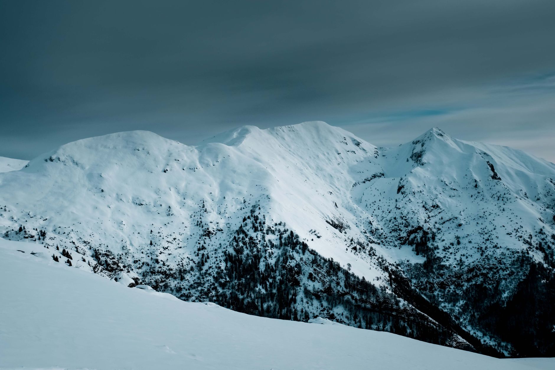
- ›Ground snow load (Pg) is the weight of snow on open, level ground at a site, in psf, and it is the single biggest input to any roof snow calculation.
- ›Pg comes from a reliability-targeted statistical model built on decades of NOAA snow depth records, not a simple observation.
- ›Elevation and local topography can change Pg dramatically within a few miles, which is why mountainous regions are flagged as ASCE 7 case study zones.
- ›The ASCE 7 Hazard Tool and your local building department are the two authoritative sources; when they disagree, the locally adopted value governs a permit.
- ›A normal heated, moderately sheltered roof carries roughly 60 to 70 percent of the ground value once ASCE 7-22 factors are applied.
A roof snow load calculation is only as good as its starting number, and that number is ground snow load, Pg. Get Pg wrong and every downstream step, the flat-roof load, the slope adjustment, the minimum check, inherits the error. Pg sounds like a simple fact you look up once, but it is actually the output of a statistical model built from decades of weather records, and it can change meaningfully within a few miles. This guide explains what Pg measures, how the map behind it gets built, and exactly where to find the number that governs your site.
What ground snow load actually measures
Ground snow load is the weight of accumulated snow that would sit on a flat, open patch of ground at your site, expressed in pounds per square foot (psf). It has nothing to do with roofs yet; think of it as an environmental hazard value, similar to a wind speed or a seismic acceleration, that ASCE/SEI 7-22 assigns to a location. It is also, by a comfortable margin, the biggest single input to the entire roof snow calculation. A change from 30 psf to 50 psf moves every downstream number by the same proportion, while a small error in the exposure or thermal factor moves the result by a few percent at most.
Pg varies enormously across the country. It is 0 psf along most of the Gulf Coast, where snow accumulation is not a real design case. It climbs to 15 to 30 psf across the mid-Atlantic and lower Midwest, 30 to 70 psf across the upper Midwest and New England, and beyond 100 psf at elevation in parts of the mountain West and northern New England.
How the Pg maps get built
ASCE does not guess at these numbers. Ground snow load values come from a reliability-targeted statistical model built on decades of historical snow depth and water-equivalent records collected by NOAA weather stations and cooperative observers across the country. Analysts convert recorded snow depths to snow load using regional density relationships, then fit a probability distribution to each station's history to estimate the load at a defined annual chance of being exceeded, similar in spirit to how a 100-year flood elevation gets calculated from stream gauge records.
That station-by-station analysis then gets interpolated across the map, accounting for known local factors such as elevation and general climate pattern. In flat, climatically uniform terrain, the interpolation is smooth and reliable between stations. In mountainous terrain, snow load can change dramatically over a short horizontal distance because of elevation alone, and a smooth interpolation cannot capture that. That is why ASCE 7 marks mountainous regions as case study areas: the standard map value is not considered accurate enough, and a site-specific study using local snow course data or an elevation-based regression is required instead.
Why two neighboring towns can have different values
It is common to see two towns twenty miles apart with noticeably different adopted Pg values, and the reason is rarely an error in the data. Elevation is the single biggest driver: gaining a thousand feet of elevation over a short distance can add tens of psf, because higher elevation means colder average temperatures, more precipitation falling as snow rather than rain, and less mid-winter melting between storms. Local topography matters too. A town in a valley that channels cold air and traps snow behaves differently from a similarly elevated town on an open, wind-scoured ridge, even though the regional climate is the same.
Jurisdictional choices add a second layer. Some cities and counties adopt a single conservative Pg for the entire jurisdiction to simplify plan review, even if the ASCE map shows some variation within their boundaries. Others adopt a graduated table by elevation band. Either approach can create a real difference between the Hazard Tool's point value and what your local plan reviewer expects to see on a permit application.
Where do I find my exact ground snow load?
The authoritative national source is the ASCE 7 Hazard Tool, a free online lookup that returns the ASCE 7-22 ground snow load for any address or latitude and longitude, along with the wind, seismic, and other environmental values for the same site. It is the tool most engineers use for a first-pass number.
Your local building department is an equally valid, and sometimes more important, source. Many jurisdictions publish an adopted Pg value or table in their code amendments, and when a local amendment exists, it is what a plan reviewer checks your permit application against, regardless of what the Hazard Tool shows. If the two sources disagree, ask the building department which value they want you to use; do not average them or pick whichever is smaller.
How much of that load actually reaches your roof?
Ground snow load is not roof snow load, and conflating the two is one of the most common errors in a quick, non-engineered estimate. ASCE 7-22 Equation 7.3-1 converts Pg into a flat-roof load using a base 0.7 reduction factor plus exposure, thermal, and importance adjustments. On a normal, heated, moderately sheltered house, the roof ends up carrying roughly 60 to 70 percent of the ground value. A fully exposed, unheated building, or an essential facility with a higher importance factor, can push the roof load close to, or in some cases above, the ground value. For the full mechanics of that conversion, see our ground snow load vs roof snow load comparison, or run your own numbers through the free snow load calculator.
What a higher Pg means for construction
A higher Pg does not just mean a bigger number on a form. It cascades into heavier framing: larger rafters or trusses, closer spacing, bigger connectors, and in high-snow regions, engineered ridge beams instead of a simple ridge board. It can also push a project into a higher structural review tier at the building department, since heavier loads sometimes require a stamped engineering package that a lighter-snow jurisdiction might not require for the same building type. Builders working across state lines, or even across a single mountain county, should never assume the framing package from a low-Pg project will work at a higher-Pg site nearby.
Pg in psf vs snow depth on the ground
Ground snow load is expressed in pounds per square foot, not inches or feet of depth, because depth alone does not tell you how much a snowpack weighs. ASCE 7 estimates snow density using the relationship gamma = 0.13 x Pg + 14, capped at 30 pounds per cubic foot, which is part of why a fixed psf number is more useful for engineering than a depth measurement: a light, powdery two feet of snow can weigh far less than a dense, wet one foot. When you see a stated Pg of, say, 40 psf, that is not a prediction of how many inches will fall in a typical winter; it is a statistically derived design weight meant to represent close to a worst-case accumulated snowpack for the site, snow that built up over an entire season without fully melting.
Can ground snow load change between code editions?
Yes. ASCE periodically revises its snow load methodology and underlying station data as new editions are published; ASCE 7-22 introduced a different, more site-specific method for generating ground snow loads than ASCE 7-16 used, and in some locations the resulting numbers moved up or down as a result even though the underlying climate did not change. That is one more reason to pull a fresh value from the Hazard Tool for the specific code edition your project is permitted under, rather than reusing a number from an older project or an old printed map. See our rundown of what changed in ASCE 7-22 for the full picture.
Treat Pg as the foundation of the calculation, not a formality to skip past. Confirm it from the Hazard Tool and your building department, note whether your site sits in a case study zone, and only then move on to the roof-specific factors. Everything downstream depends on getting this one number right.
| Region type | Typical Pg range (psf) | Example areas |
|---|---|---|
| Coastal / Gulf South | 0-5 | Coastal Texas, Florida, Gulf Coast Alabama |
| Plains / mid-Atlantic | 15-30 | Ohio Valley, Virginia Piedmont, Kansas |
| Upper Midwest / interior Northeast | 30-60 | Minnesota, Wisconsin, inland Massachusetts |
| Northern New England / lake-effect snowbelt | 50-100 | Northern Maine, Adirondacks, Great Lakes snowbelt |
| Mountain West / high elevation (case study) | 30-150+ | Colorado Rockies, Wasatch Front, Sierra Nevada |
Get your design roof snow load in seconds with the free ASCE 7-22 calculator.
Open the calculatorFrequently asked
01Is ground snow load the same as roof snow load?+
No. Ground snow load (Pg) is the hazard value for a site. Roof snow load is derived from Pg using the ASCE 7-22 equation and is what actually loads the structure, typically 60 to 70 percent of Pg on a normal house.
02What does 'case study' mean on the ASCE 7 map?+
It means the standard map value is not considered reliable for that area, usually because of elevation-driven variability in mountainous terrain, and a site-specific study or Hazard Tool lookup is required instead of a single regional number.
03How current is the data behind the ASCE 7 Hazard Tool?+
The Hazard Tool reflects the ground snow load methodology tied to a specific ASCE 7 edition. Always select the edition your jurisdiction has adopted, since 7-16 and 7-22 outputs are not always the same at the same coordinates.
04Can I use a Pg value from a neighboring town?+
Not reliably. Elevation, local topography, and jurisdictional amendments can all shift the value between neighboring towns. Always pull the value for your exact site.